Faedo de Ciñera de Gordón, a fairytale beech forest near León
Actualizado el
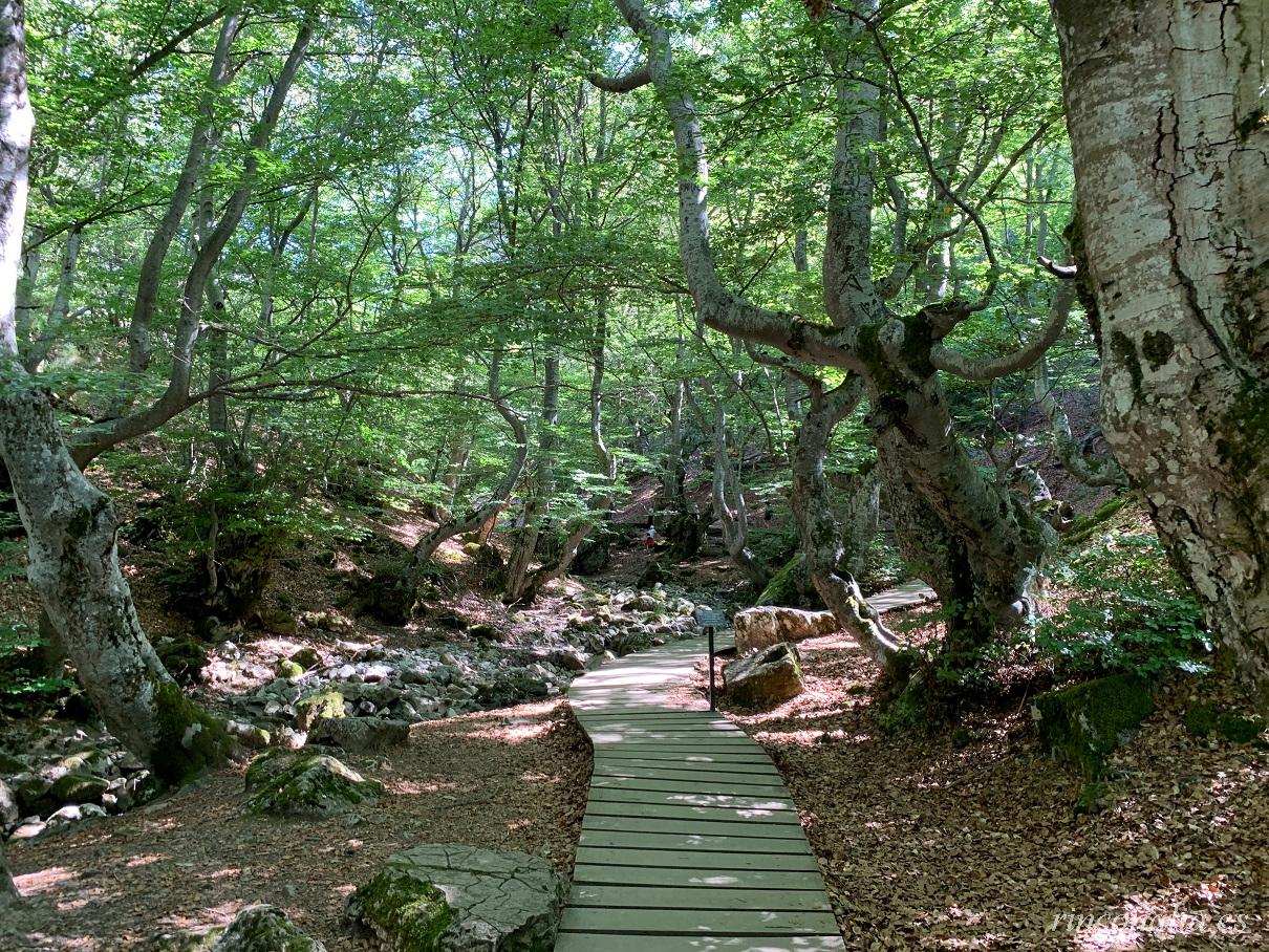
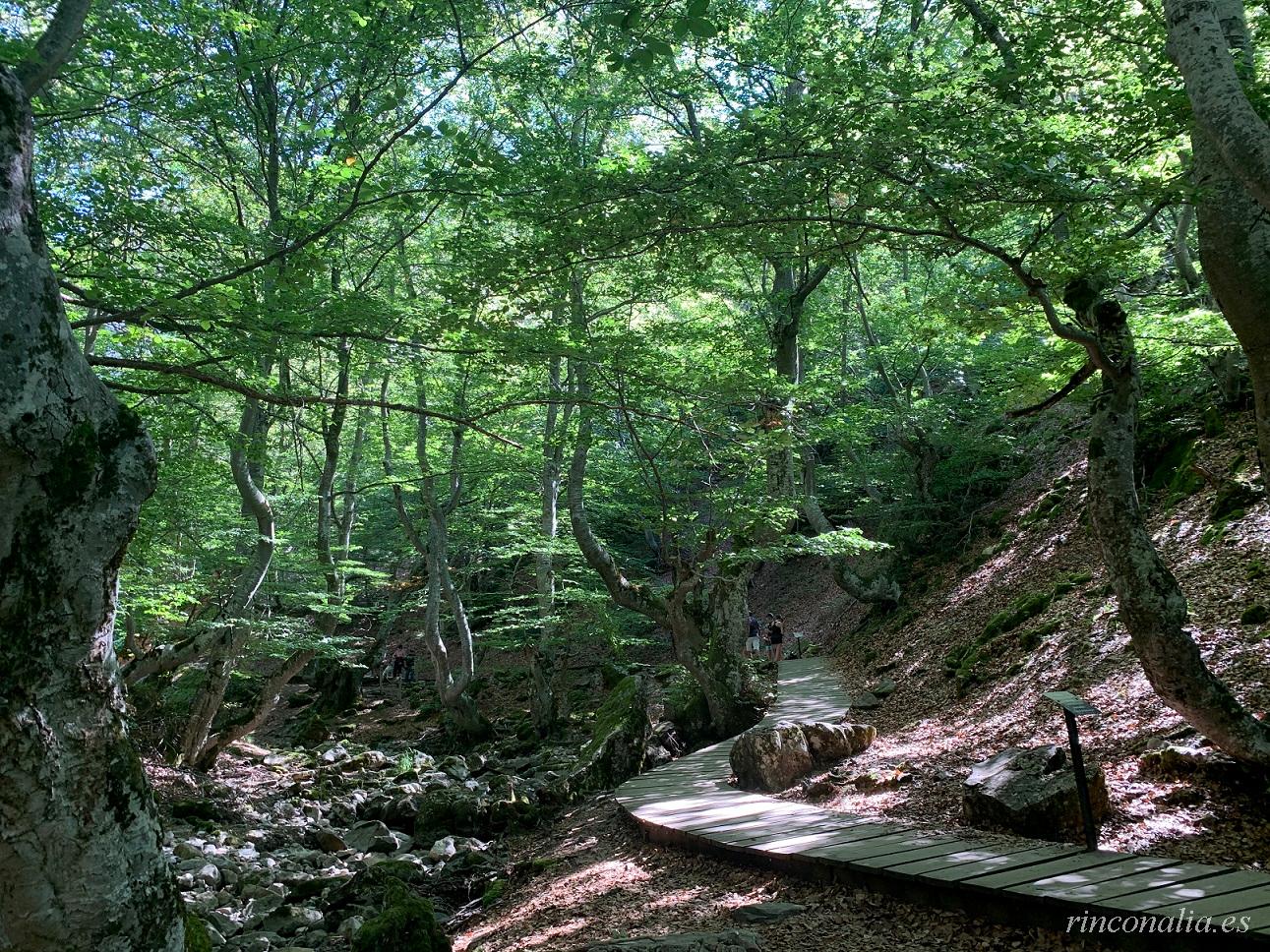
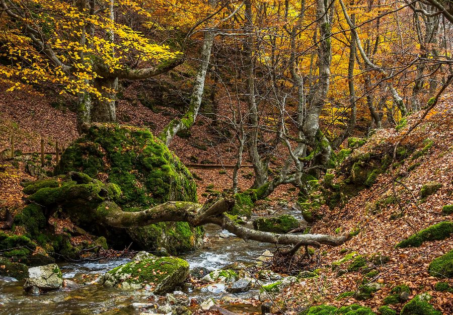
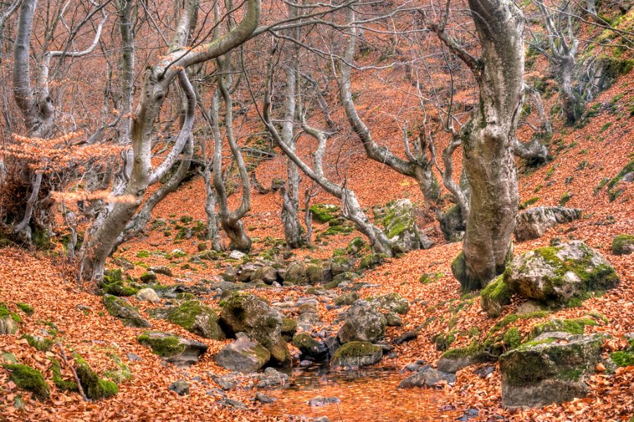
The Faedo de Ciñera is a tranquil haven of pure nature in León’s Central Mountains: a century-old beech woodland lining the waters of the Arroyo del Villar, offering storybook scenes especially in spring and autumn.
Extent and location
- Covering just 1.5 km² in the municipality of Ciñera de Gordón, province of León.
- Sits at about 1,000 m altitude within the Alto Bernesga Biosphere Reserve.
Trails and routes
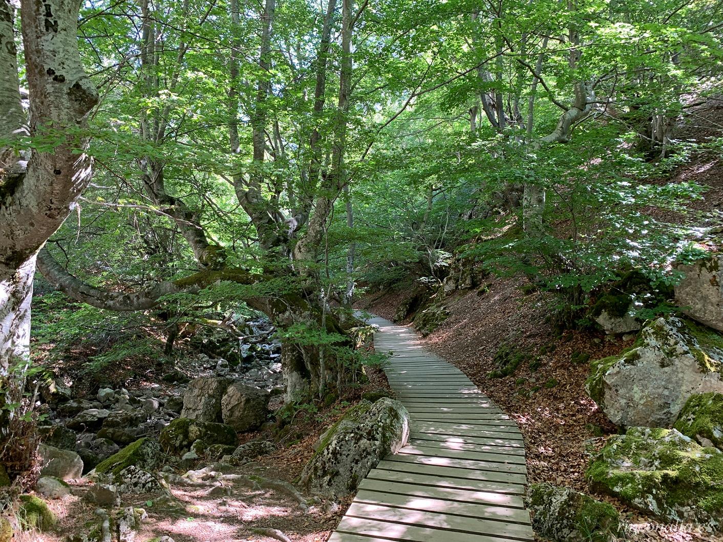
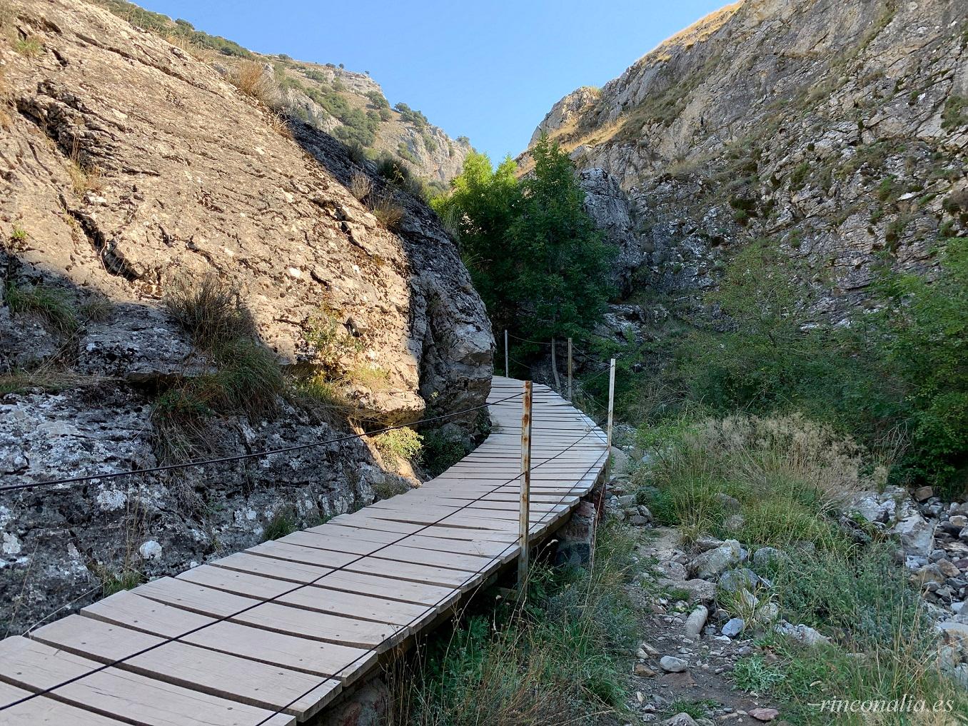
- Faedo Trail (3 km, 1 h): a circular waymarked route along the stream through the densest stands of beech.
- Arcediano Viewpoint: a 500 m spur offering panoramic valley views and Peña Ubiña peaks.
- Rest areas with wooden benches and interpretive panels on local flora and geology.
Biodiversity and ecosystem
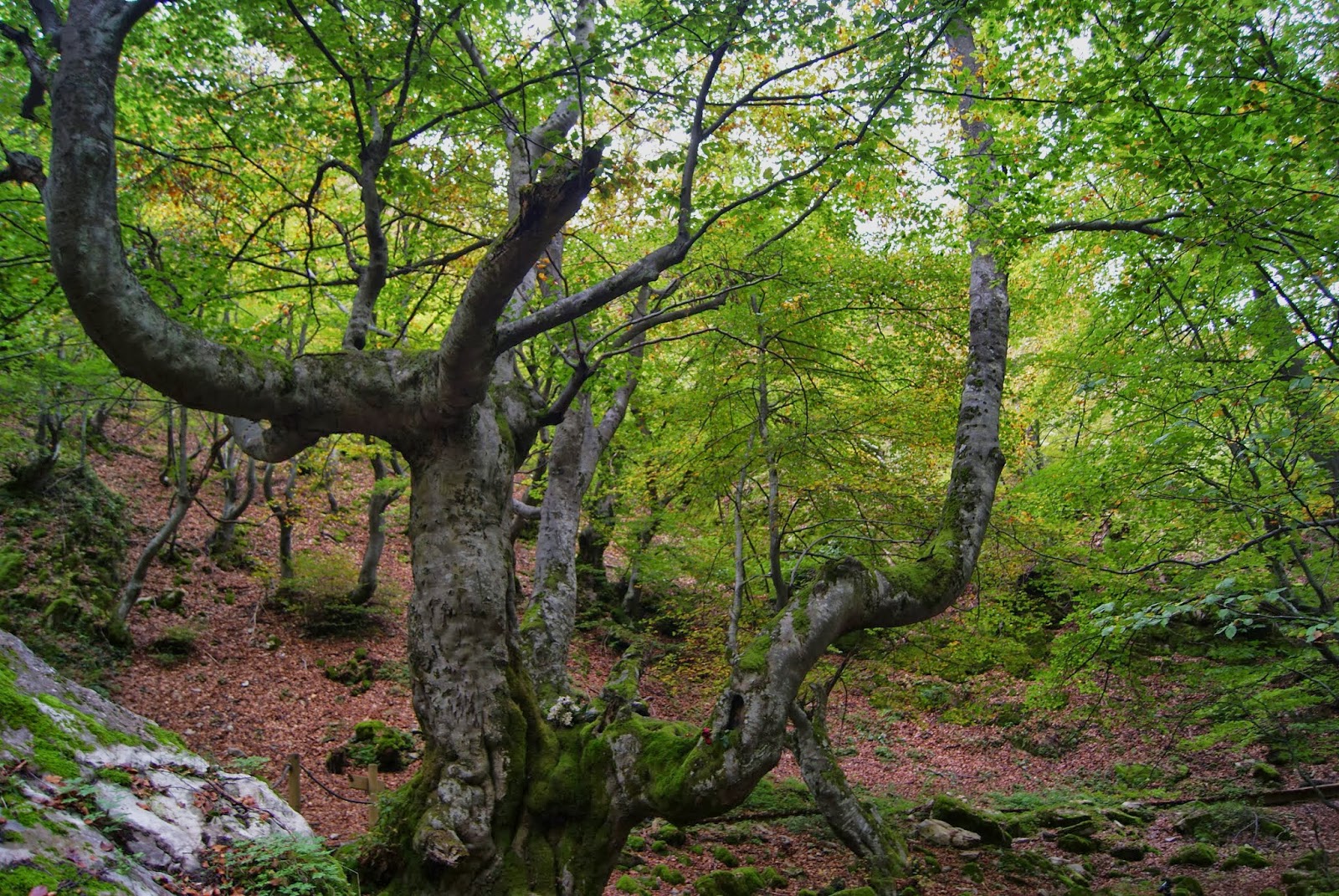
- Dominated by Fagus sylvatica (beech), with yew, holly and maple.
- Rich fungal community: oyster mushrooms, saffron milk caps and amanitas.
- Birdlife: tits, jays and woodpeckers; mammals: roe deer, wild boar and shrews.
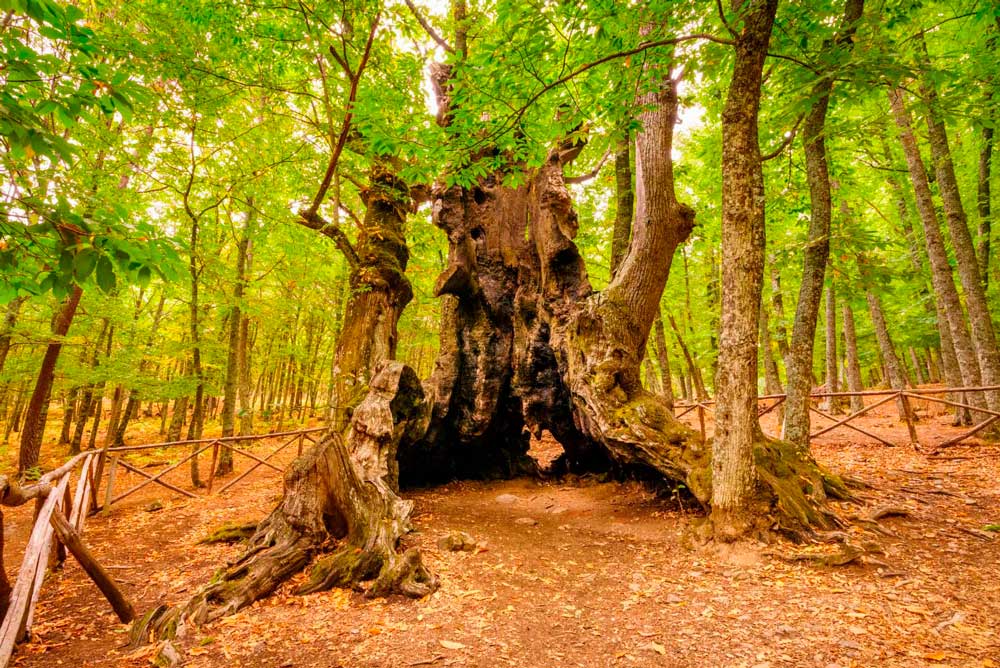
“Fagus”, the centennial queen
A beech known as “Fagus” is about 500 years old and dominates the understorey. It features in Árboles, leyendas vivas as one of Spain’s 100 most notable trees.
Best time to visit
- Spring: fresh translucent greens and beech blossoms.
- Autumn: golden leaf carpet and mists over the stream.
- Avoid heavy rain days to protect the fragile trail.
Conservation and protection
- Part of the Alto Bernesga Biosphere Reserve.
- Local stewardship: villagers help maintain paths and control visitor numbers.
- Picking mushrooms without permission and straying off marked trails is prohibited.
How to get there and services
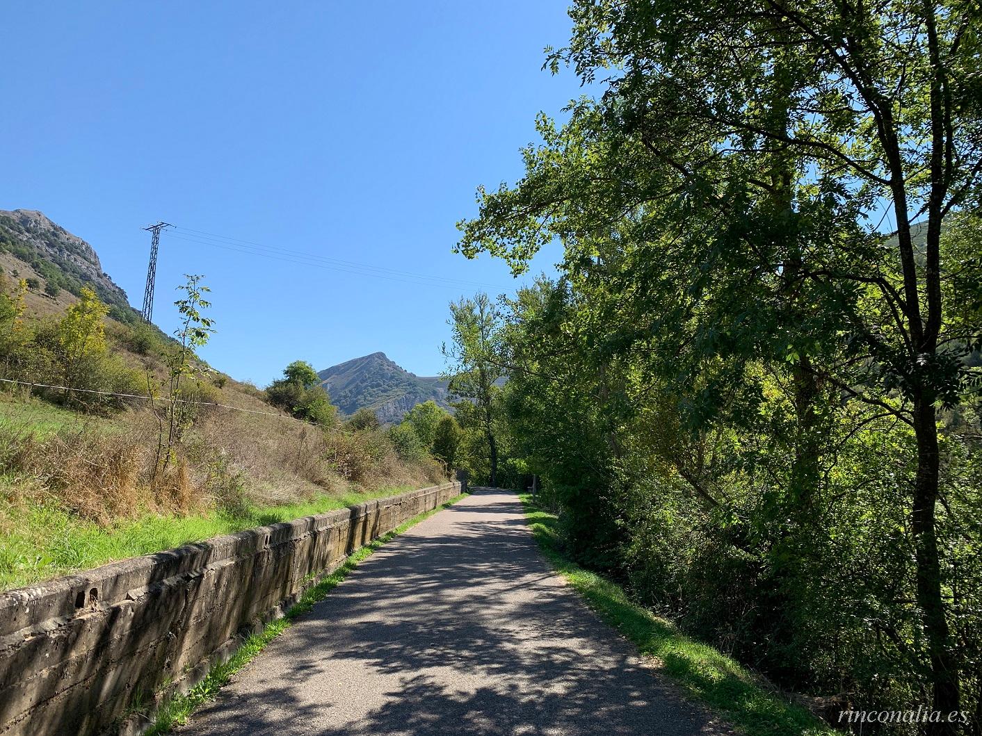
- Access via LE-112 from La Pola de Gordón (15 km).
- Park-and-ride at the entrance; picnic area with tables.
- Interpretation centre in Ciñera de Gordón with panels, restrooms and trail info.
How to get there
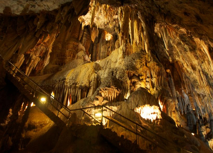
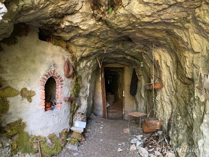
Aproximadamente a 40 km de León por la N-630, con dirección a Asturias, se encuentra Ciñera de Gordón. Ya en el pueblo encontramos varios carteles indicativos de la ruta hasta el Faedo, que comenzará en el conocido como Paseo del Faedo. A partir de ahí es casi todo el camino llano hasta llegar a una boca mina museo cerrada, en la que podemos ver las herramientas típicas de una mina. Siguiendo por ese camino ascendente llegaremos a un cruce en el que el indicador nos informa que hay que girar a la izquierda por un camino que desciende ligeramente y nos llevará a un puente de piedra. A partir de este puente el camino desaparece para convertirse en un sendero de firme irregular. Siguiendo encontramos a la derecha una explanada con zona de merendero. Un poco más adelante llegamos al hayedo, habremos recorrido unos 2 km desde el pueblo. A la entrada del Faedo hay un cartel que nos cuenta leyendas de brujas y hadas sobre el lugar.
Coordinates:
Decimal: 42.884444°, -5.633333°
DMS: 42°53'04" N, 5°38'00" O
Nearby places to this

Other similar tourist places in Spain
Comments
Be the first to comment on this place