Roman Road of Puerto del Pico, one of Spain’s best-preserved stretches
Actualizado el
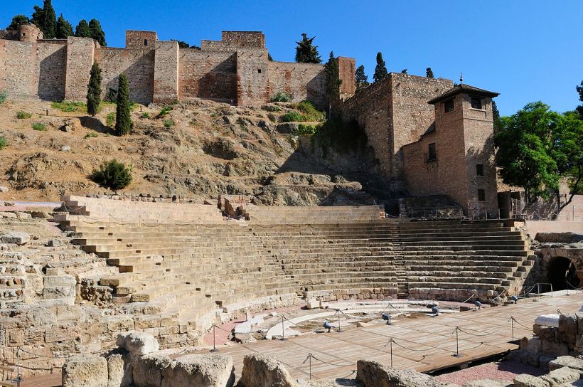
The Roman Road of Puerto del Pico is among the finest-preserved segments of the ancient imperial network. Beyond its intact pavement, it offers a journey through history and a landscape of high scenic value.
Historical Context
Built at Rome’s territorial zenith, it formed part of the Vía de la Plata linking south to north Spain. It enabled transport of metals, salt, and grain, and served as a strategic military corridor.
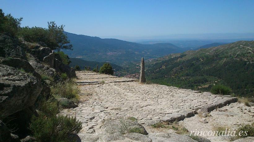
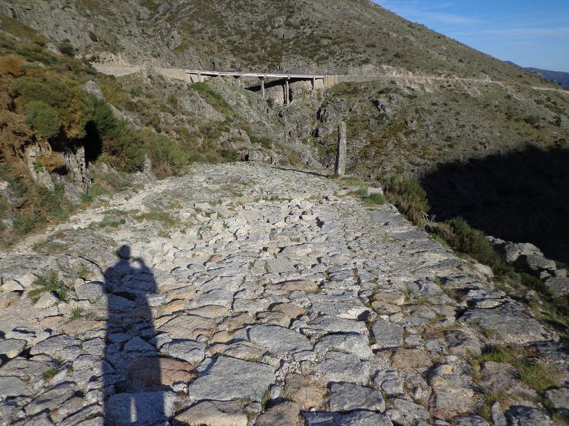
Pavement Details
- Foundation layer: rubble bed on solid ground
- Main wheel track: large stones aligned to bear carts and pack animals
- Secondary running layer: gravel and rounded pebbles filling voids and ensuring drainage
- Surface paving: flat slabs tightly fitted, crowned centrally to shed water
- Drainage: stone culverts and transverse ditches every 20–30 m handling runoff
Natural Setting & Biodiversity
The route passes through:
- Scots pine forests and junipers on dry slopes
- Pyrenean oak groves in cooler areas
- Clear streams with trout and otters
- Raptors such as owls, golden eagles, and kites
- Wild orchids and boxwood hummocks in the underbrush
Visitor Tips
- Access: parking at Puerto del Pico (km 16 of CM-5003)
- Route: out-and-back on the same road (6 km total)
- Duration: 2–3 h at a leisurely pace, including photo/rest stops
- Gear: hiking boots, water, hat, sunscreen; optional trekking poles
- Best season: spring and autumn for mild temperatures and blooming flora
Points of Interest Along the Way
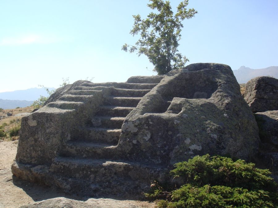
- Mirador de los Aljibes: Roman water cistern remains alongside the road
- Stone bridge: small engineering work crossing a tributary stream
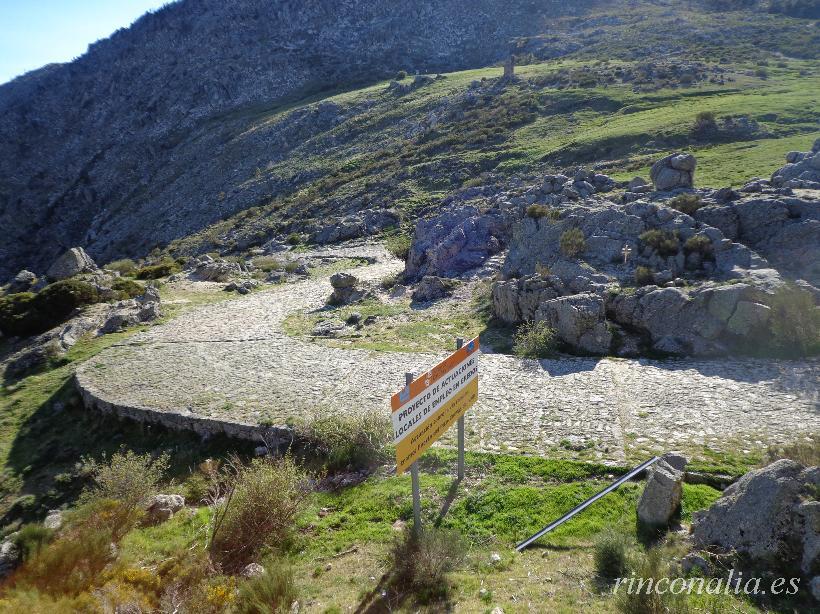
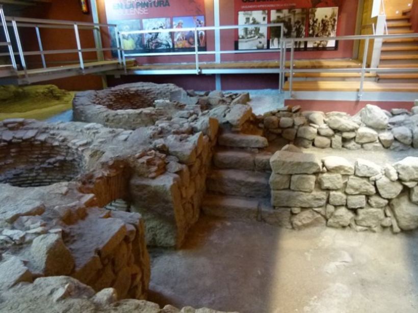
- Restored segment: interpretive panel explaining Roman construction techniques
- Prehistoric caves: rock shelters evidencing Paleolithic settlements
Walk in the footsteps of ancient Roman travellers and enjoy a landscape that marries millennia-old heritage with pristine nature at Puerto del Pico.
How to get there
Una buena zona para visitar la calzada es El Puerto del Pico (1.391 metros), que pertenece al municipio de Cuevas del Valle en Ávila.
Coordinates:
Decimal: 40.321389°, -5.013056°
DMS: 40°19'17" N, 5°0'47" O


El puerto del Pico y la zona es preciosa.
Pero pertenece a la localidad de Villarejo de Valle, pueden observarlo en el cartel que marca la altura del puerto y el municipio correspondiente.
Muchas gracias.